Flying a Drone in Wind: Safe Limits Every Beginner Should Know

- Primary Signal: Flying a Drone in Wind: Safe Limits Every Beginner Should Know
- Overview: Wind is the first real challenge for new drone pilots. Learn your drone's wind rating, how to read gusts and altitude wind, why the return leg drains battery fastest, and the warni...
- Verification: Analyzed and compiled by FreeSky Aerial editorial monitoring desk.
Wind is the first real challenge every new drone pilot faces. On a calm morning your drone hovers like it is nailed to the sky. On a breezy afternoon it tilts, drifts, and fights to hold position, and your battery drains noticeably faster. Understanding wind limits, and how to read conditions before you fly, is the difference between a confident flight and a lost drone.
Start with the manufacturer's wind resistance rating, usually given in metres per second or miles per hour. Many popular consumer drones are rated for around 10 to 12 metres per second, roughly 22 to 27 miles per hour. Treat that number as a maximum, not a target. Flying at the rated limit leaves no margin for gusts, which can easily exceed the steady wind speed by half again. A sensible personal rule is to fly only when steady wind is well below the rating, and to land if gusts approach it.
Check conditions at two heights, not just ground level. Wind at 100 metres is usually stronger than wind at head height, sometimes by a large margin, because there are no trees or buildings to slow it. Weather apps and aviation forecasts show wind at different altitudes, and several drone apps display wind speed and gust predictions for your location. Check both the steady figure and the gust figure. A forecast of 15 miles per hour gusting to 30 is a very different day from a steady 15.
Wind affects more than stability. A drone fighting a headwind uses far more battery on the return leg, which is the classic trap: flying out with the wind behind you feels effortless, and flying home against it can drain the battery faster than expected. Always plan the return journey first. Fly into the wind on the way out when possible, so the easy leg is the one that brings you home. Keep a battery reserve of at least 30 percent for windy days, and land early rather than late.
Learn the warning signs that mean land now. If the drone struggles to hold position, tilts hard into the wind, or issues a high-wind warning, do not push on for one more shot. If you notice the battery dropping faster than usual, or the drone drifting downwind despite your inputs, bring it home while you still have control and power. Footage is never worth a flyaway, and a drone carried downwind can quickly pass the point where it has enough battery to return.
Build your wind skills gradually. Practise on calm days until hovering, turning, and landing feel automatic, then try light breezes in an open area with no obstacles downwind. Practise flying in wind deliberately, in a safe place, so your first strong-wind experience is not an emergency. Experienced pilots respect wind because they have felt what it does to a small aircraft. New pilots should borrow that respect early, before the wind teaches it the hard way.
Wind is not a reason to stay grounded. It is a condition to understand, measure, and respect. Check the forecast at altitude, know your drone's rating, plan the return leg first, and land when the signs tell you to. Do that consistently, and wind becomes one more part of flying well, rather than the reason your drone never came home.
General weather apps give you wind at ground level, but pilots benefit from tools built for flying. Several free apps show wind speed, gusts, and direction at multiple altitudes, along with temperature, precipitation, and no-fly zone information for your location. Checking one of these before every flight takes less than a minute and removes most of the guesswork. Make it part of your pre-flight routine, alongside checking battery levels and propeller condition, so it happens automatically rather than when you remember.
Also log the wind conditions of your flights, especially the ones that felt difficult. A short note, date, location, wind speed, and how the drone behaved, builds a personal reference that beats any generic chart. After a season of notes you will know your own comfort limits in real numbers, not guesses, and you will recognise the conditions that previously caused trouble before you launch into them again. Good pilots are not fearless in wind; they are informed about it.
📖 Continue Reading the Full Story
Continue reading this article on FreeSky Aerial.
⚡ Access Full Content NowMore from FreeSky Aerial



 ⚡ CyberTech 568
How to Write Better Prompts for AI Image Generation: A Beginner's Guide
Good AI images start with specific prompts. Learn to describe subject, style, lighting and composition so the ...
 ⚽ Global Football Odds
5 Bankroll Management Rules Every Bettor Should Know
Picking winners matters less than managing your money. These five bankroll rules are what separate disciplined...
 ☁️ FreeSky Cloud
Should Your SaaS Company Use an AI Receptionist in 2026?
Prospects call when your team is heads-down building. Should your SaaS company let an AI receptionist answer —...
 🔭 FreeSky Cosmos
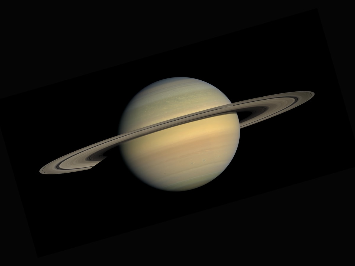
How to See Saturn's Rings With Binoculars: A Practical Beginner's Guide
Saturn's rings are visible in ordinary 10x50 binoculars if you know what to look for and hold them steady. Thi...